Skip to main contentResource added 
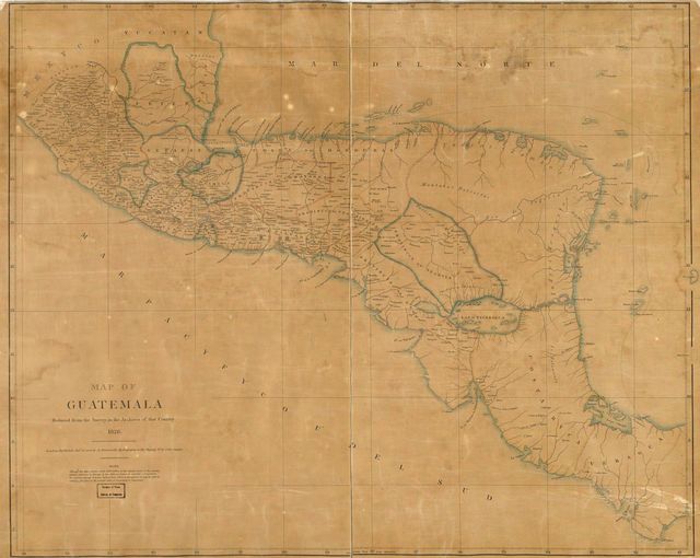

Map of the provinces of the Kingdom of Guatemala
Map of Guatemala - reduced from the survey in the archives of that country, 1826. LOC 2004629011.jpg - Available also through the Library of Congress web site as a raster image. This map is available from the United States Library of Congress's Geography & Map Division under the digital ID g4810.ma001004. This tag does not indicate the copyright status of the attached work. A normal copyright tag is still required. See Commons:Licensing for more information. Public Domain
Comments
to view and add comments.
Annotations
No one has annotated a text with this resource yet.
- typeImage
- created on
- file formatjpg
- file size8 MB